South Point
Photo Gallery


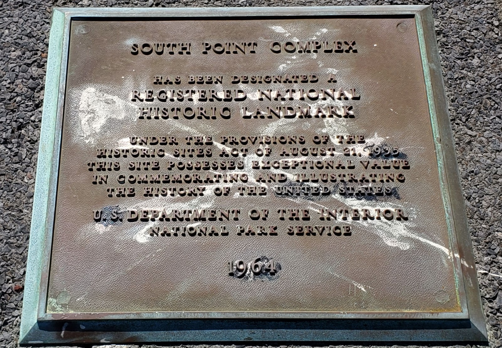
About South Point on Kau & South Island, Hawaii
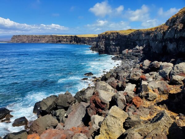
South Point is the southernmost point of the Big Island, the state of Hawaii, and even the United States. There isn’t a sandy beach at the point, but there are a couple nearby if you have a 4WD rig to drive there. Don’t let the lack of sand stop you from visiting this significant and historic spot.
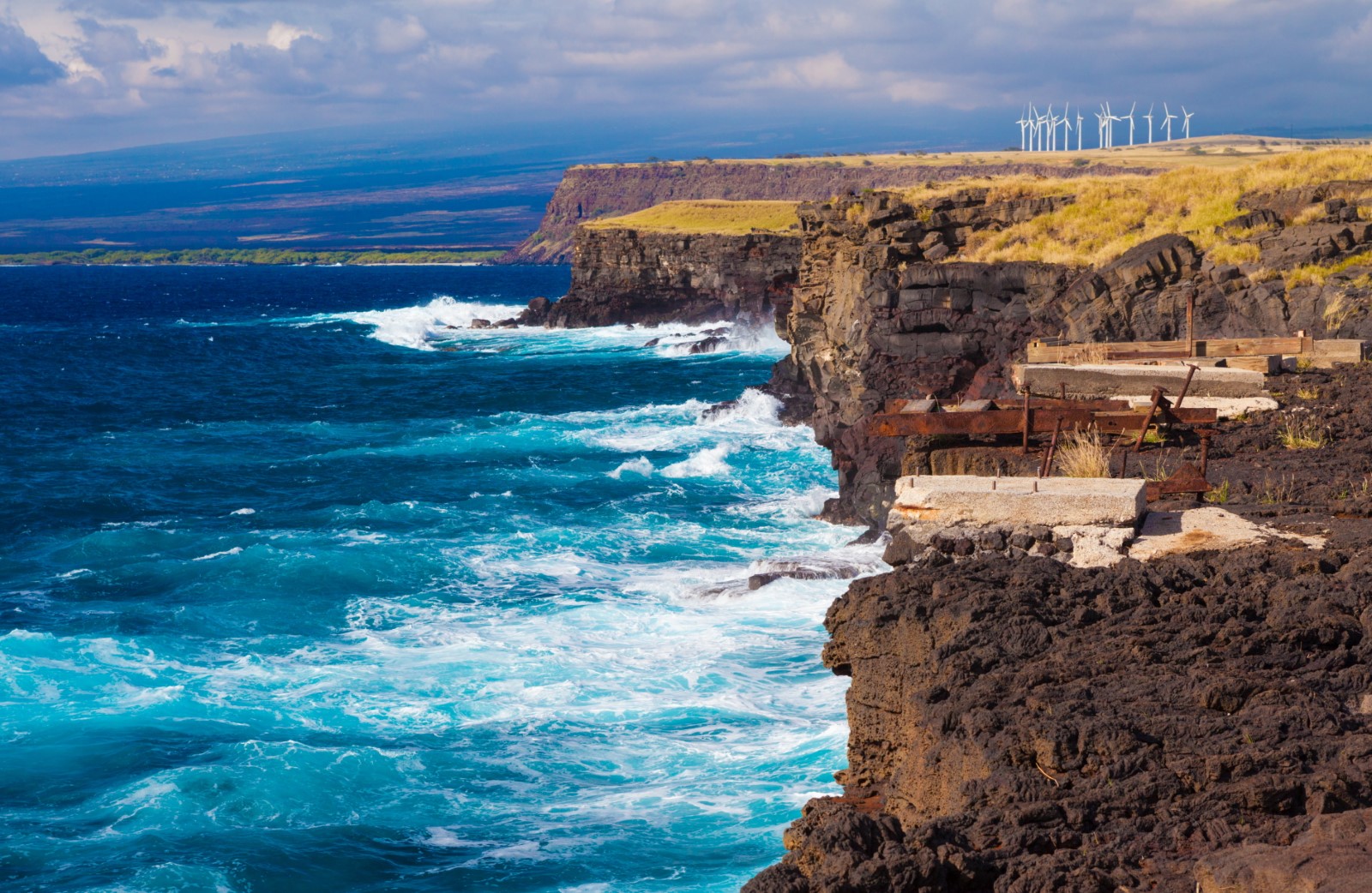
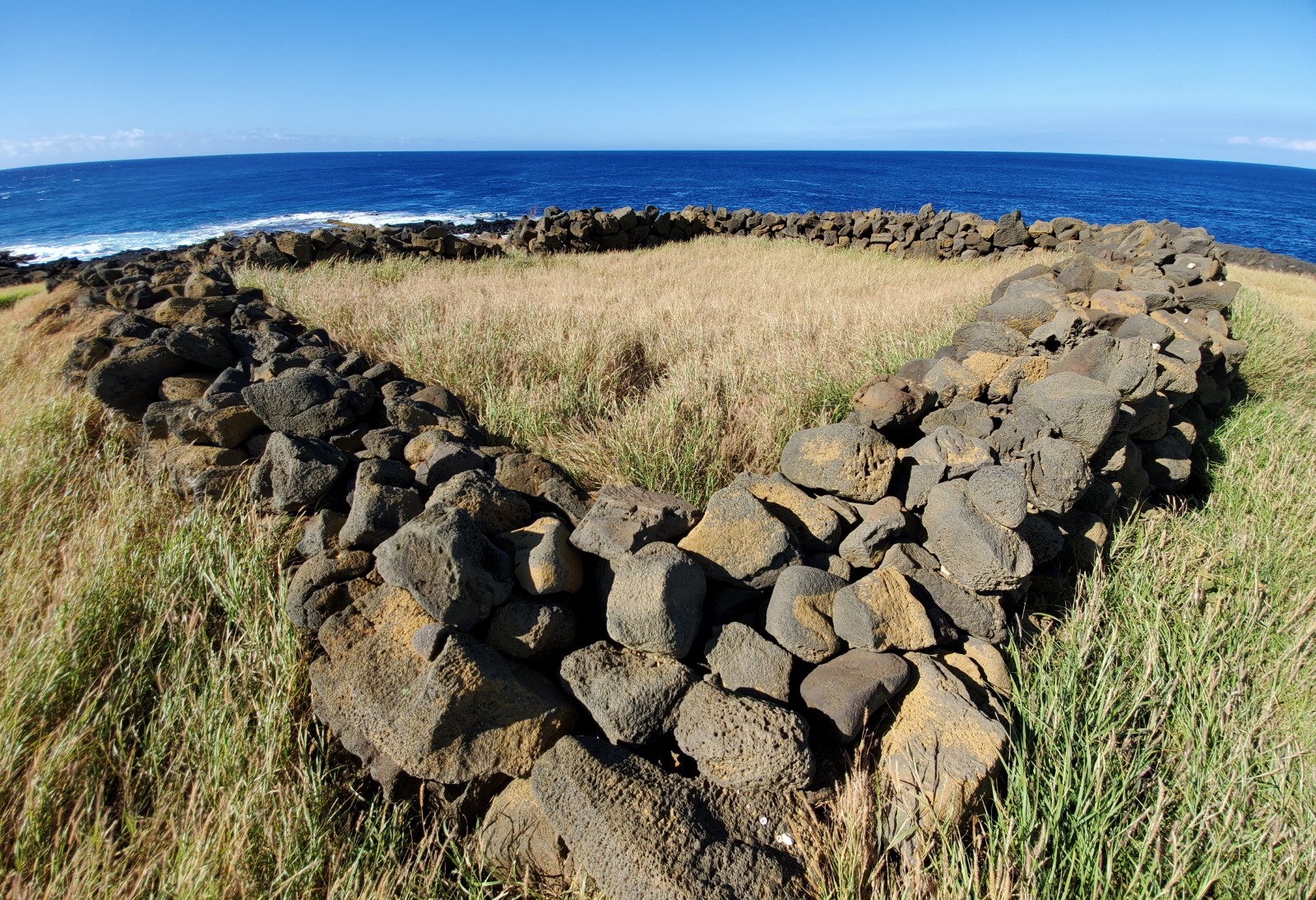
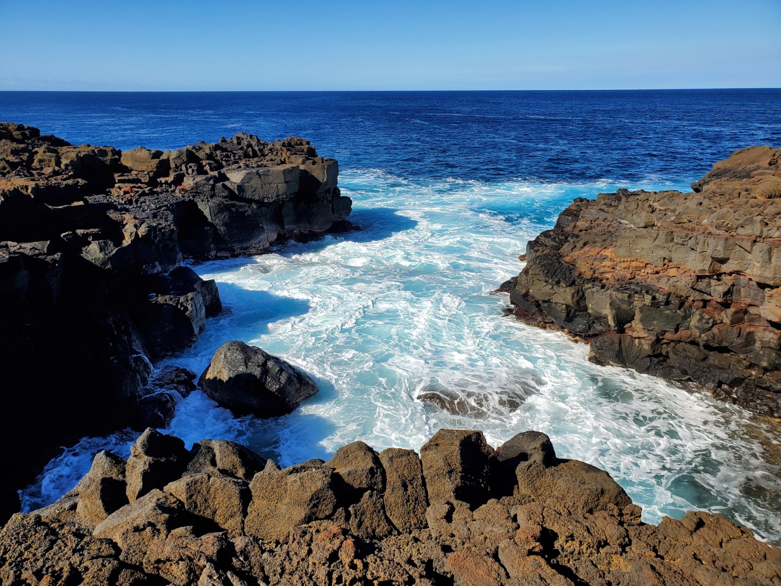
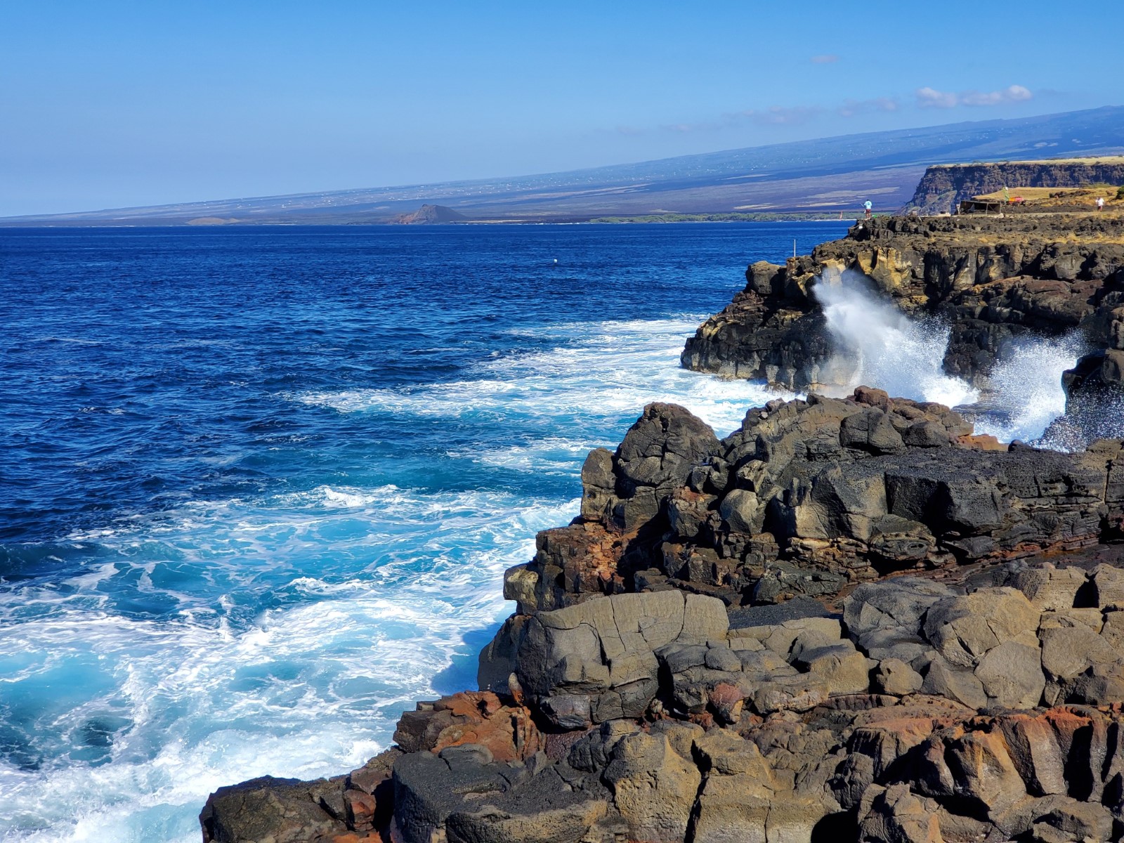
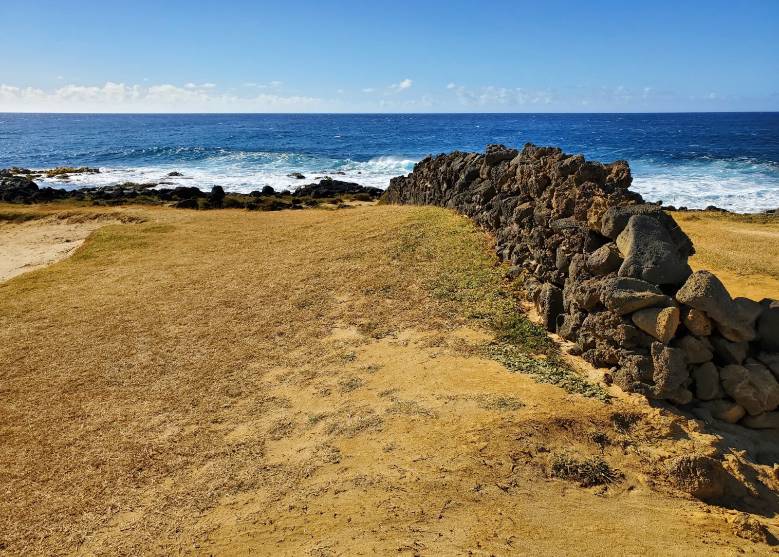
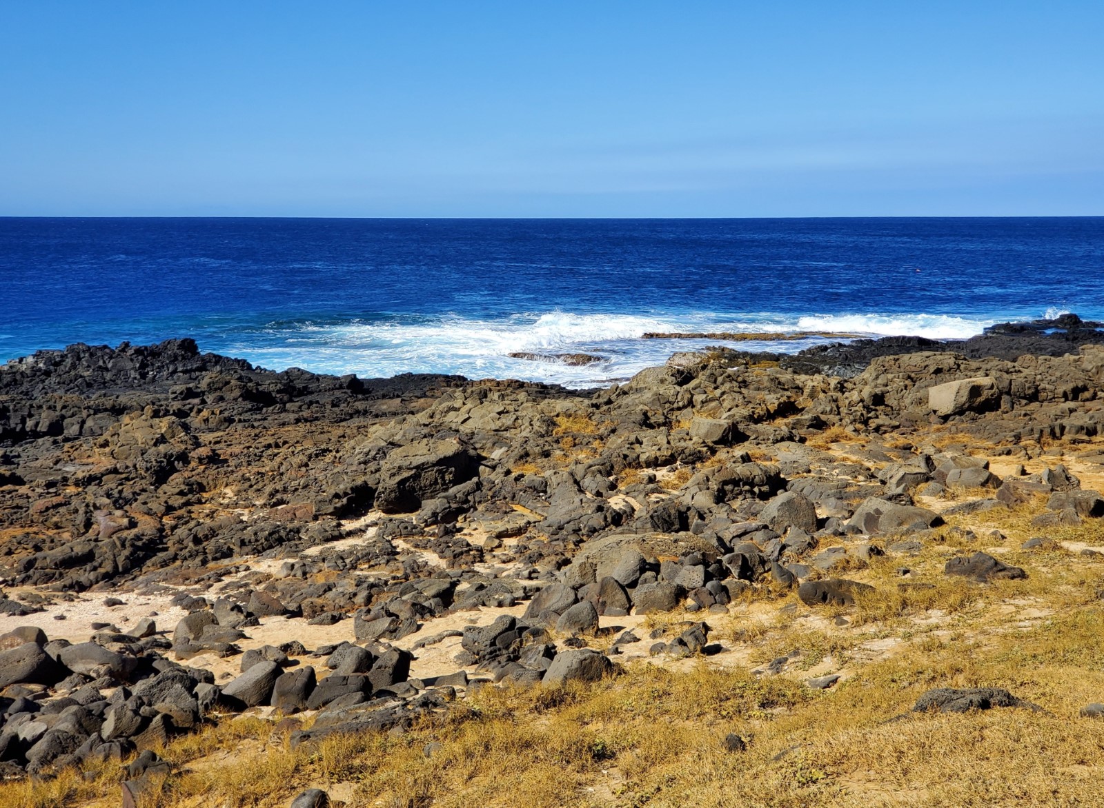
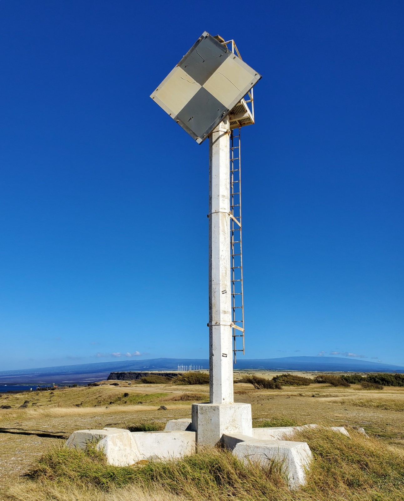
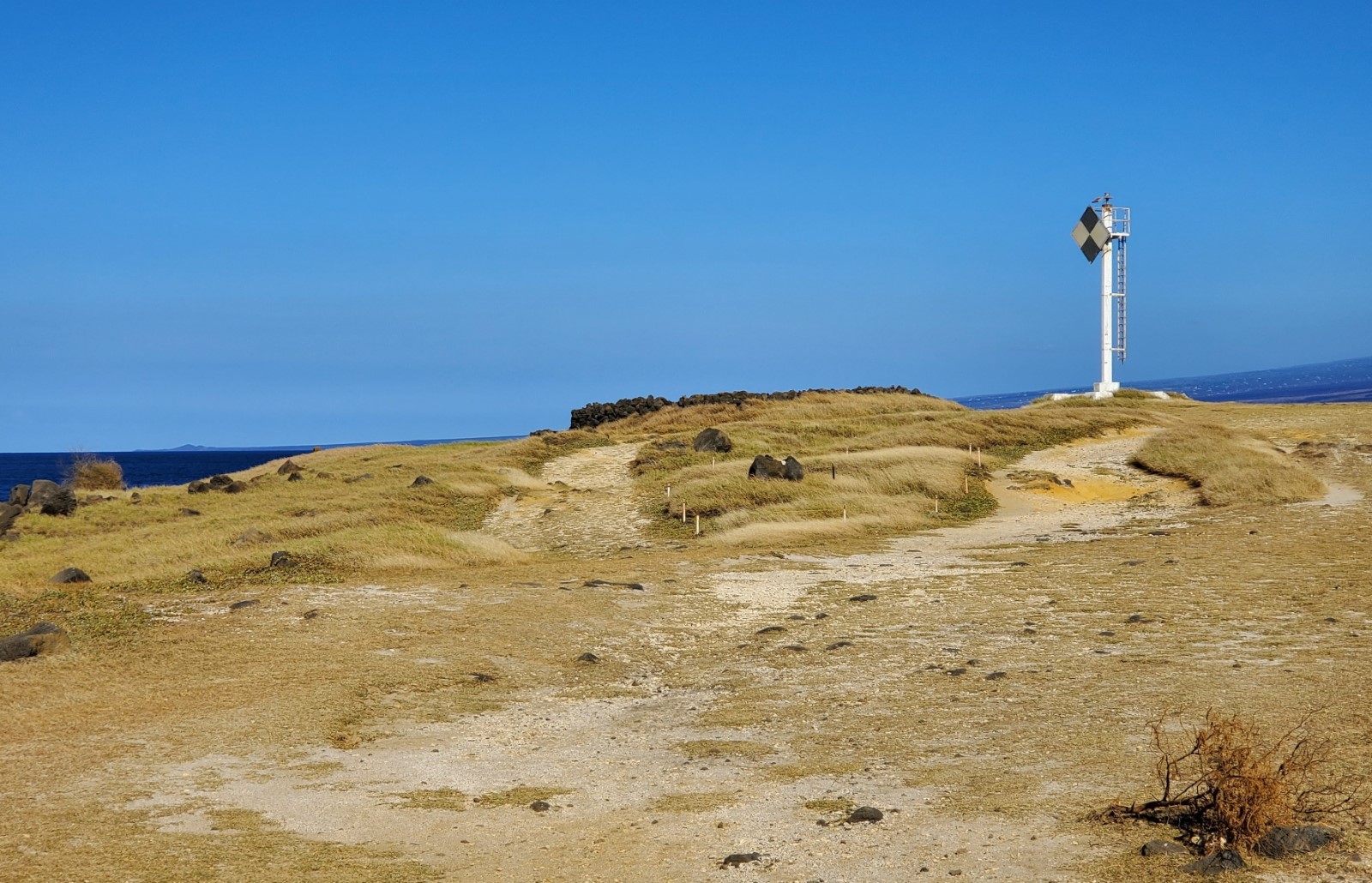
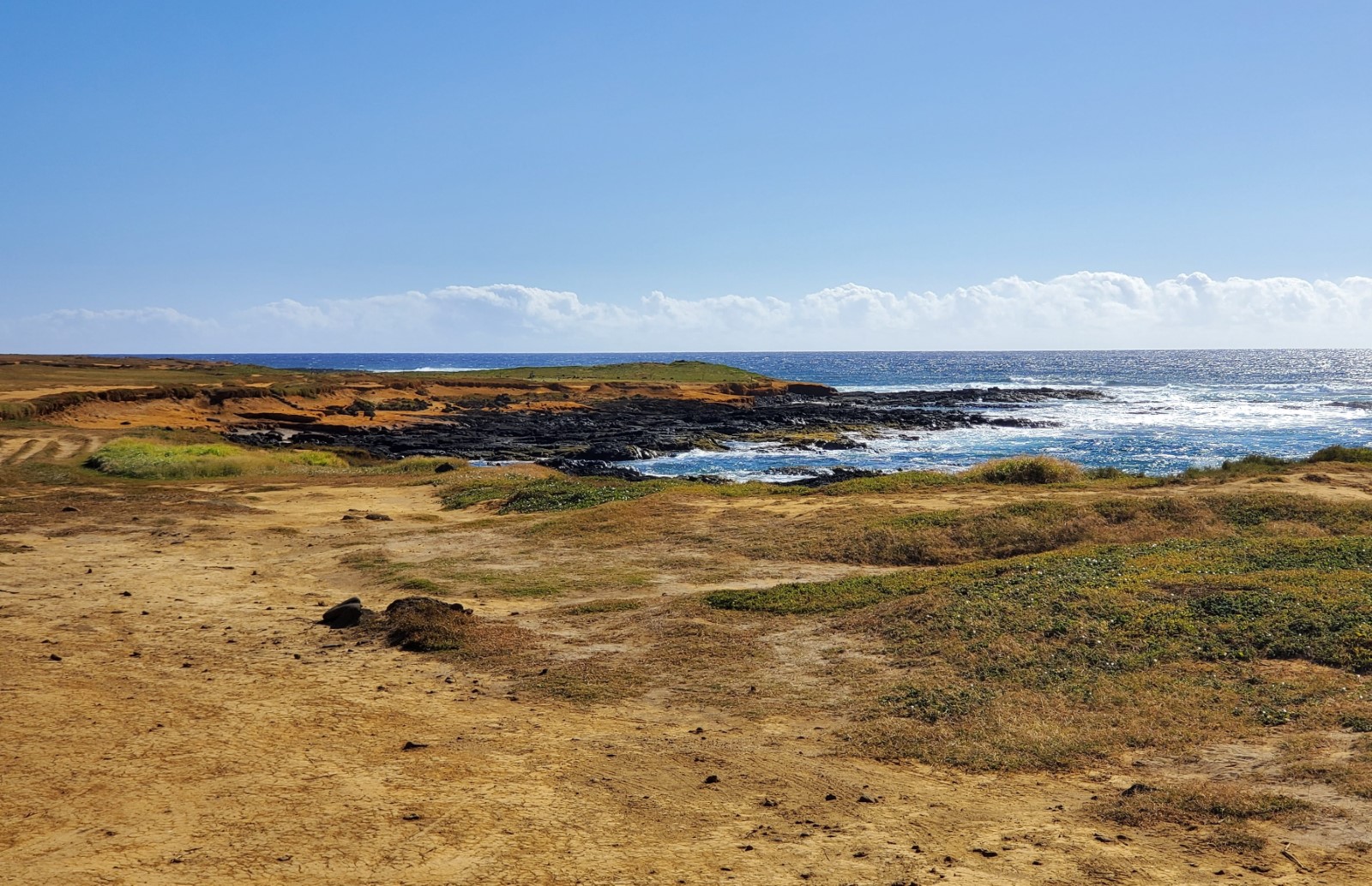
At South Point there is a concrete light beacon, lava rock walls, a heiau, and sheer cliffs to see. Experienced local cliff jumpers leap off the cliffs on the west side of the point when conditions are calm. A fixed ladder there aids the climb back to the top, but it’s no easy feat. A large hole in the lava looks down to the blue water way down below where you might see people swimming if the water is calm.
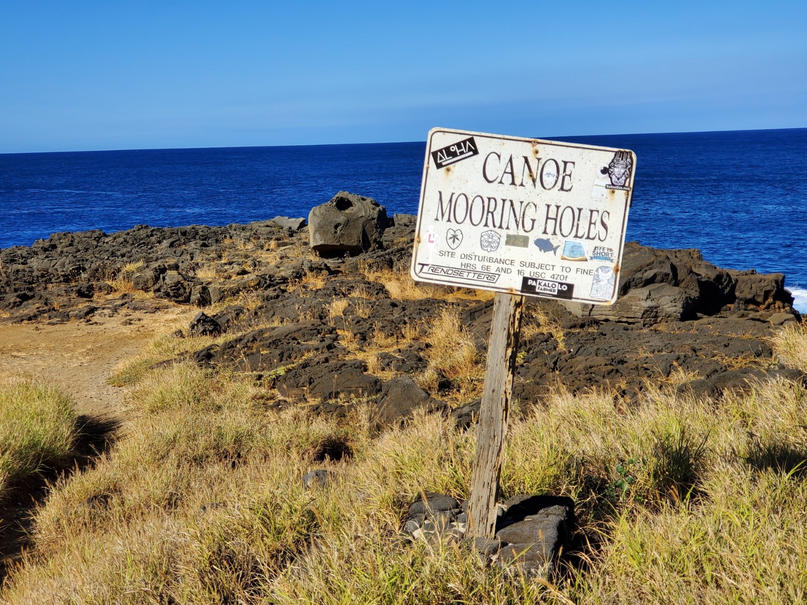
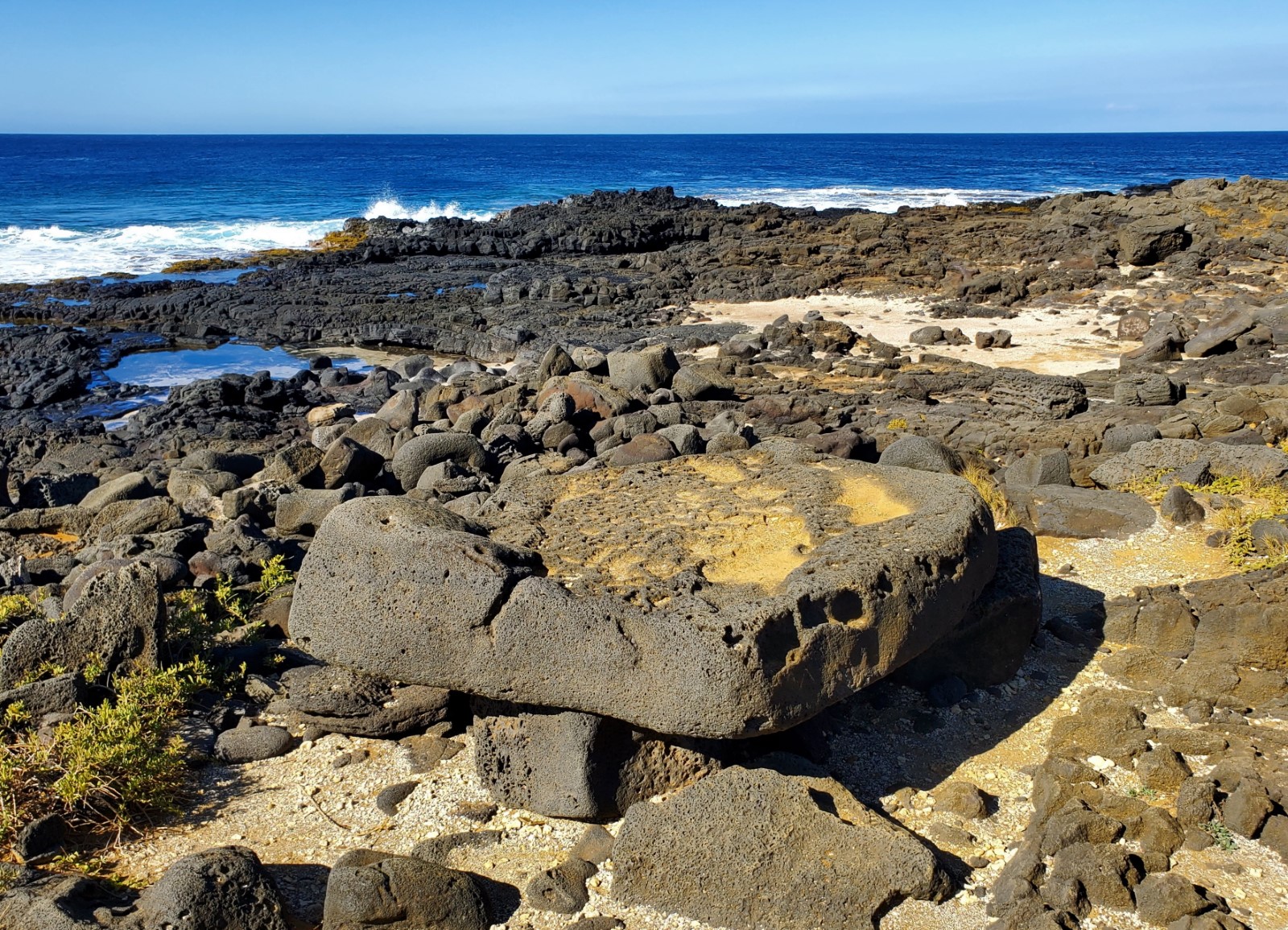
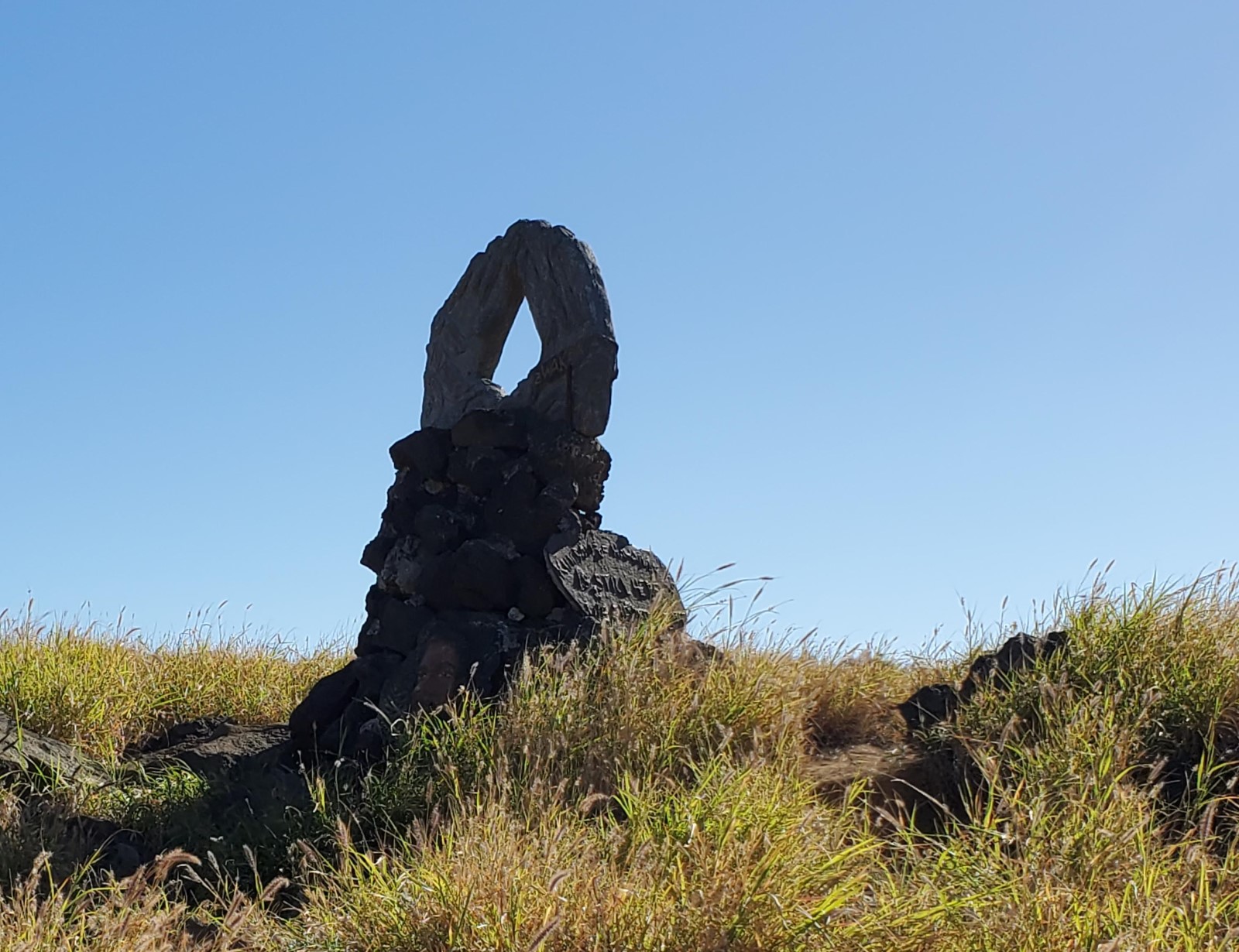
The remains of Kalalea Heiau are near the point. It’s not one of the largest heiaus on the island by footprint or height, but it’s an indication of how important this place was to the native Hawaiians. Look around this area for many conspicuously placed large stones. These historic stones have names and were placed for various reasons and to represent different things.
Fishermen are a common sight along the cliffs, but it’s mostly tourists driving down here to see what it’s like. It’s often windy and sometimes cloudy, but no matter what the conditions are like, it’s worth visiting.
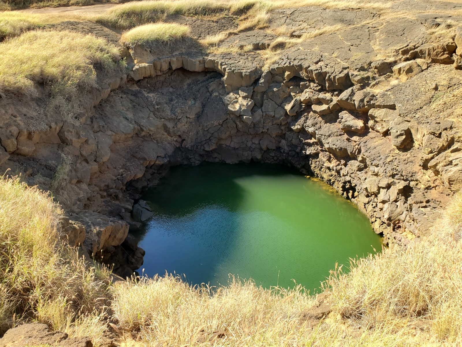
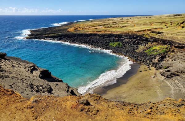
About 2/5 of a mile to the east you’ll find a freshwater swimming hole called Lua o Palahemo which is said to be bottomless and connected to the ocean underground. Most of the 4×4 roads that go in that direction pass by the swimming hole, but you might have to search around for it (coordinates 18.91406, -155.67564). There’s a small sandy beach on the shore near the swimming hole in an area called Pu’u Ali’i. Archaeologists have discovered man-made structures and artifacts near Puu Alii that show this area was inhabited for over 1000 years and might be where the first residents of the islands landed.
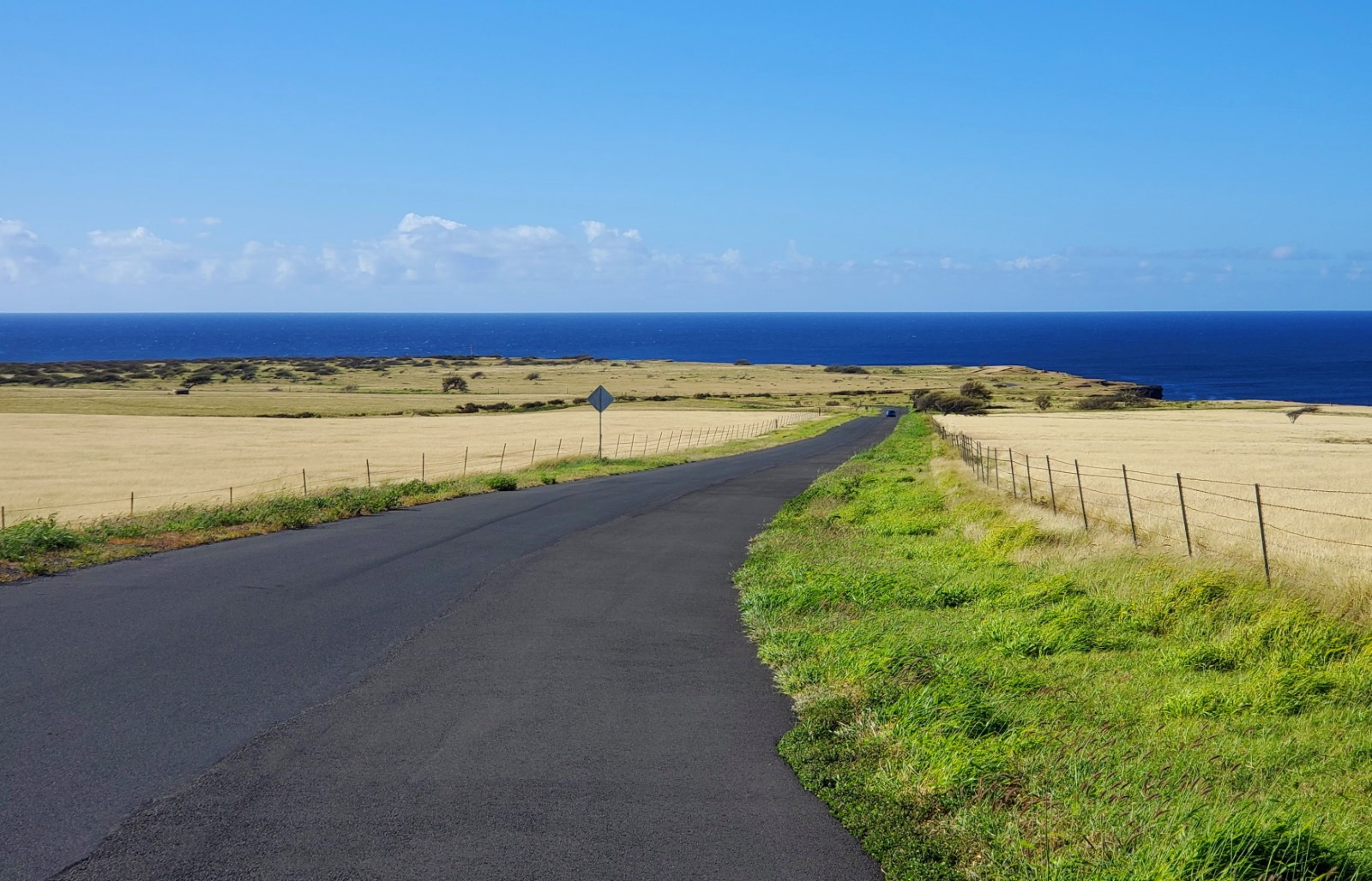
To get to South Point turn onto South Point Road from the Hawaii Belt Road (Hwy 11) about mid-way between the towns of Ocean View and Naalehu. From that turn it’s 10.7 miles to the end of the road at South Point. Just stay right when the road splits near the end. The left fork goes to Kaulana Boat Ramp and the parking lot for Green Sand Beach. The southernmost point of the US is just beyond the light and the heiau. The cliff jumping spot and hole in the rocks are near where the pavement ends.
- Address
- S Point Rd
Naalehu, HI 96772 - Park Name
- South Point National Historic Landmark District
- Other Names
- Ka Lae, Ka Laefor, Kalae, Pu'u Ali'i
- Pet Details
- Dogs allowed on leash
- Fees
- Free parking
- Activities
- Fishing, Hiking, Sightseeing, Cliff Jumping, Off-Road Driving
- Amenities
- Historical Structures, 4x4 Roads, Boat Hoist, Trails, Light Tower, Interpretive Signs, Swimming Hole, Cliffs, Toilets

Nearby Beaches
Broken Landing at South Point
0.7 miles away
Broken Landing or “Broken Road” gets its name from a road that stops at the ocean and is broken...

Kaulana Boat Ramp
0.8 miles away
The Kaulana Boat Ramp is down South Point Road at the southern tip of the Big Island. It provides...
Papakolea Green Sand Beach (Mahana Bay)
2.5 miles away
Papakolea Green Sand Beach on Mahana Bay is in a remote location near South Point on the Big Island....
Nearby Attractions
Āinapō Trail to Mauna Loa Summit
29.7 miles away
This challenging hike climbs 7,600 feet in 10 miles topping out at 13,200 feet where it reaches a National...
Nearby Lodging

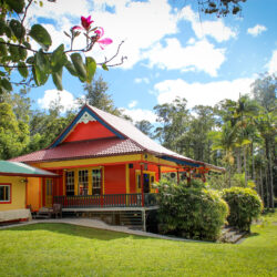
Hawaii Island Resort
9.7 miles away
Set on 8 acres with a macadamia nut orchard, this rural B&B is 12.5 miles from Papakolea Green Sand...