Keopuka Kai Shoreline
Photo Gallery


About Keopuka Kai Shoreline on Kona & West Island, Hawaii
This little-known tract of remote coastal land was once part of a larger ahupua’a (Hawaiian subdivision) called Keopuka in the South Kona region. Currently these 184 acres are protected by Hawai’i Land Trust (HILT) to keep it from being developed and to protect public access.
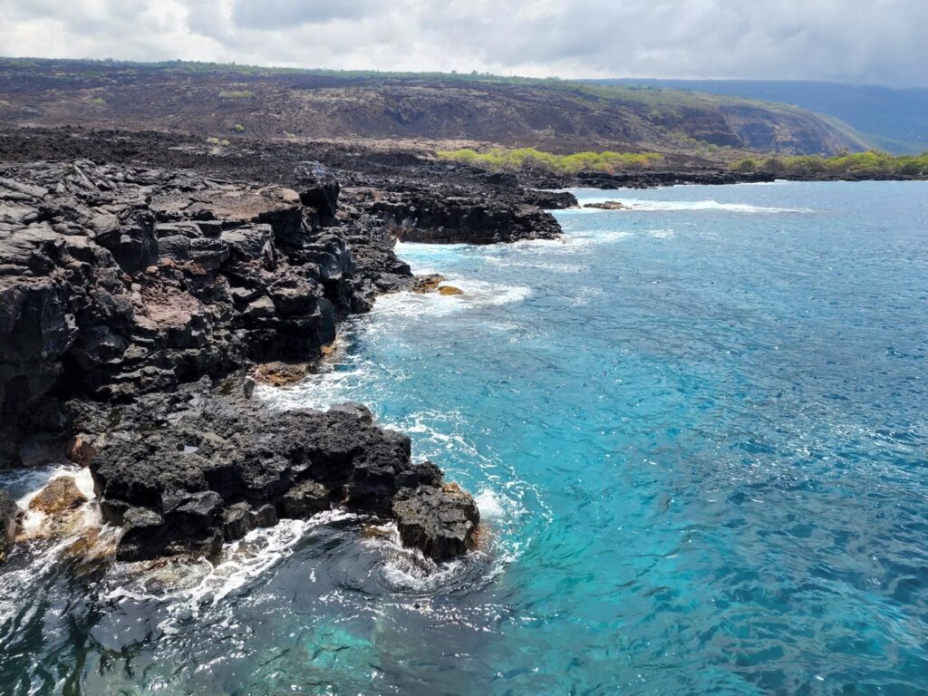
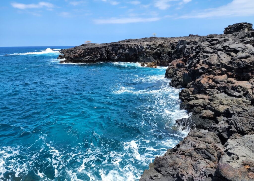
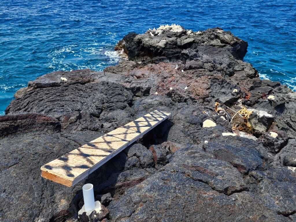
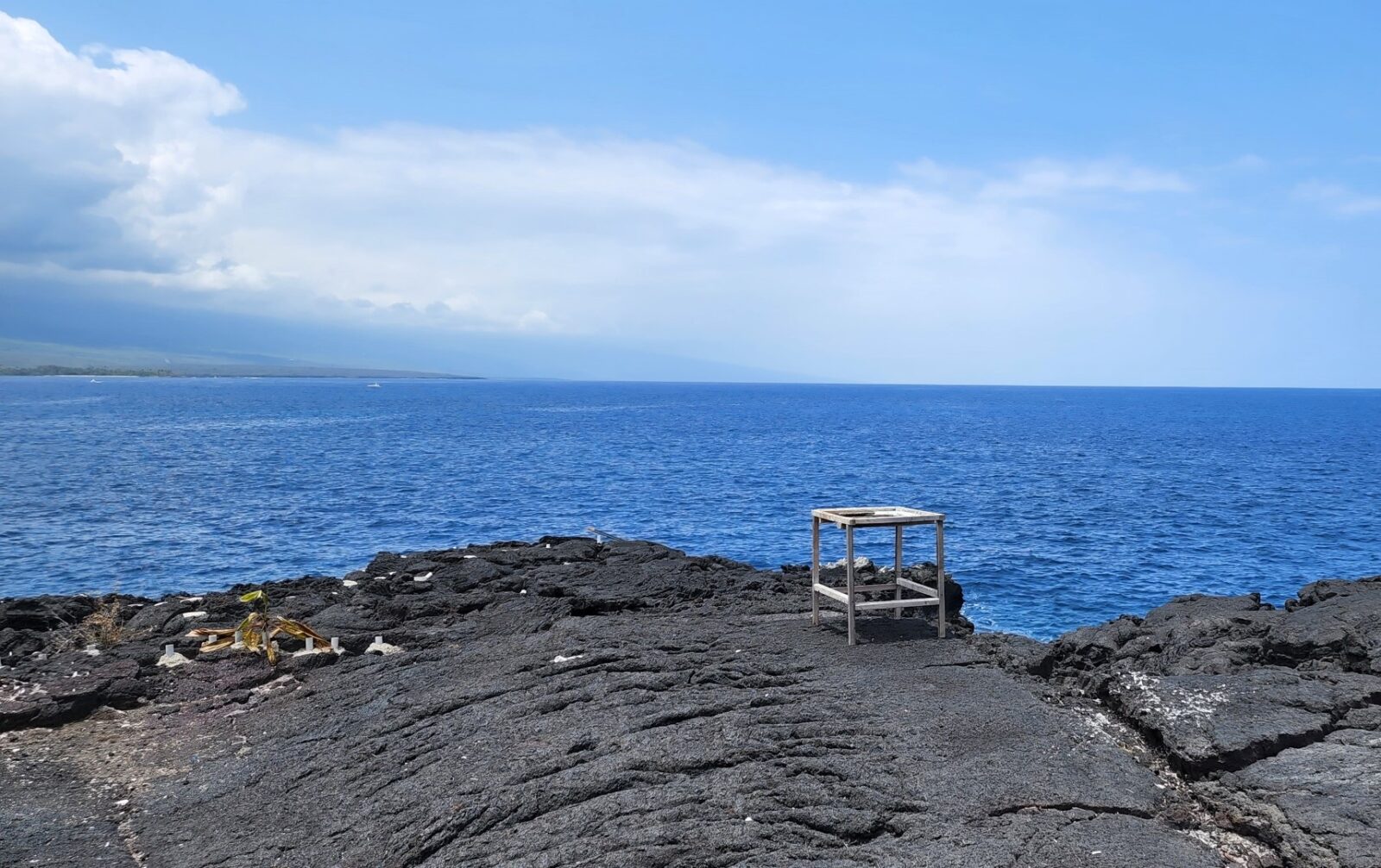
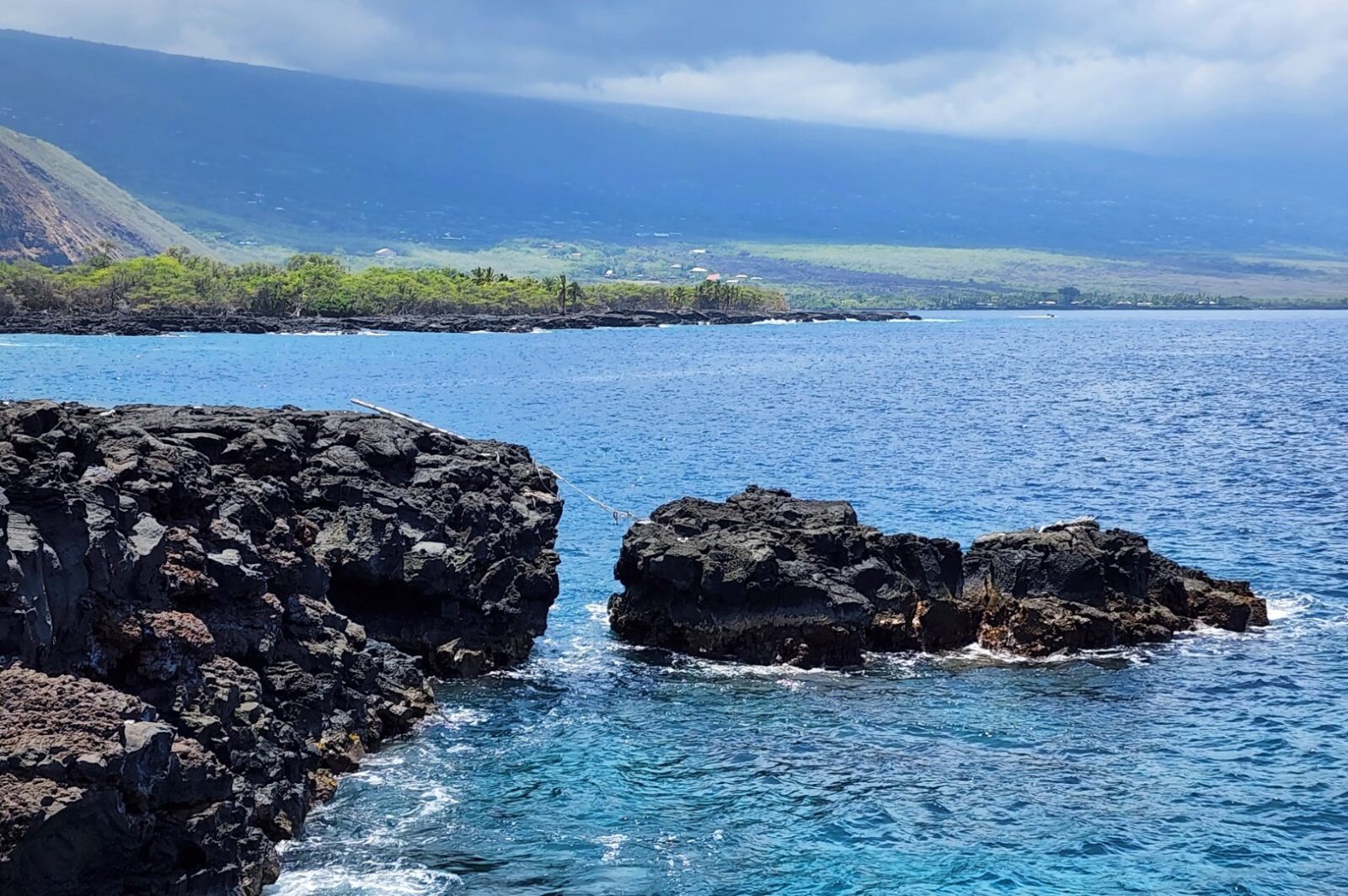
It is estimated that at one time this settlement housed up to 650 people. Rock walls and other man-made lava rock structures can be found near Keawekaheka Point, but there is no sandy beach along this stretch of shoreline.
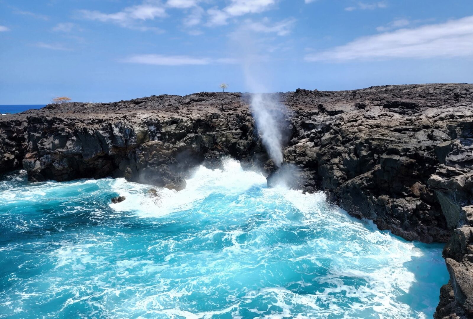
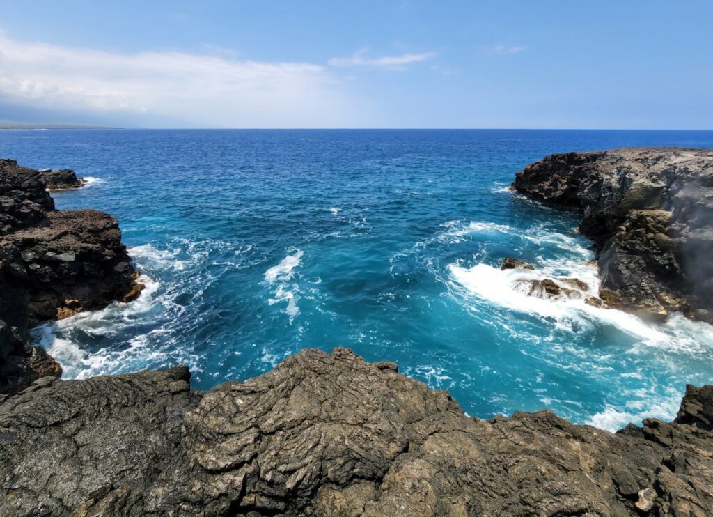
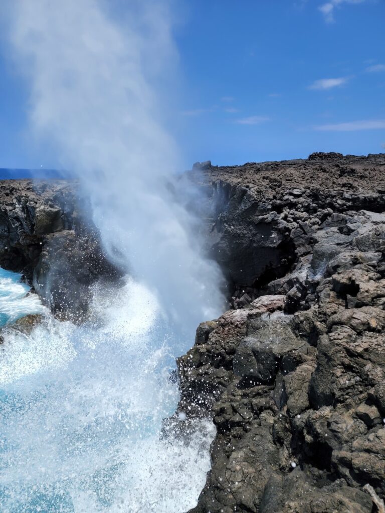
One of the biggest attractions at Keopuka is a double blowhole located next to a fishing spot on the shore (look for fixed fishing pole holders in the rocks). When the waves hit this small cove with enough force, one blowhole will gush misty air and the other will splash water high in the air. Tour boats heading back to Kona from the snorkeling spot near the monument will often stop to view these blowholes. You can hike to them instead! They are located just a bit north of where the old road hits the shoreline (see our map with a pin placed at the blowholes).
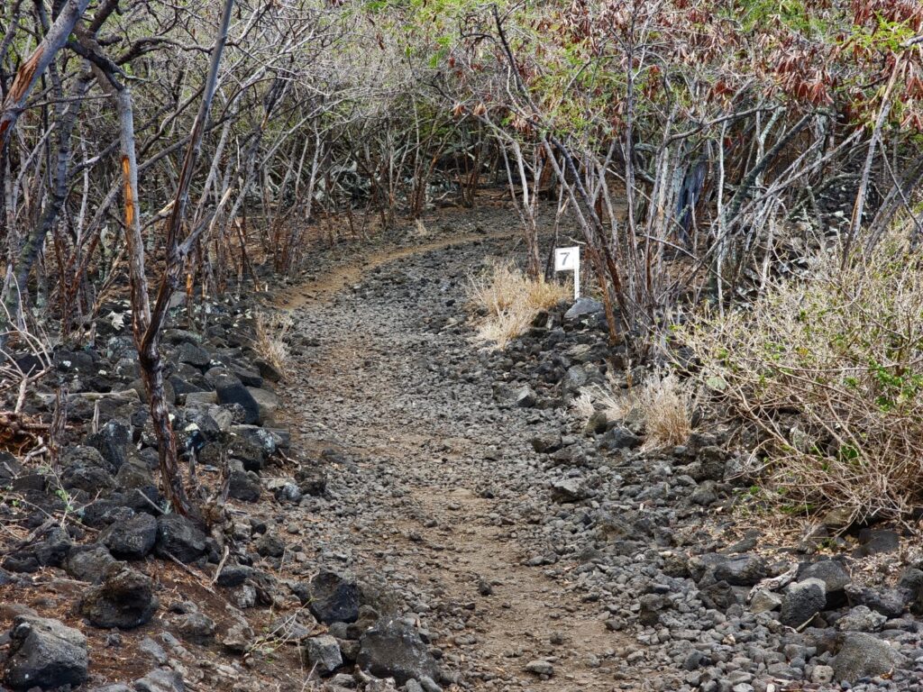
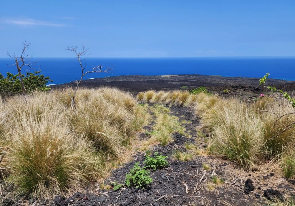
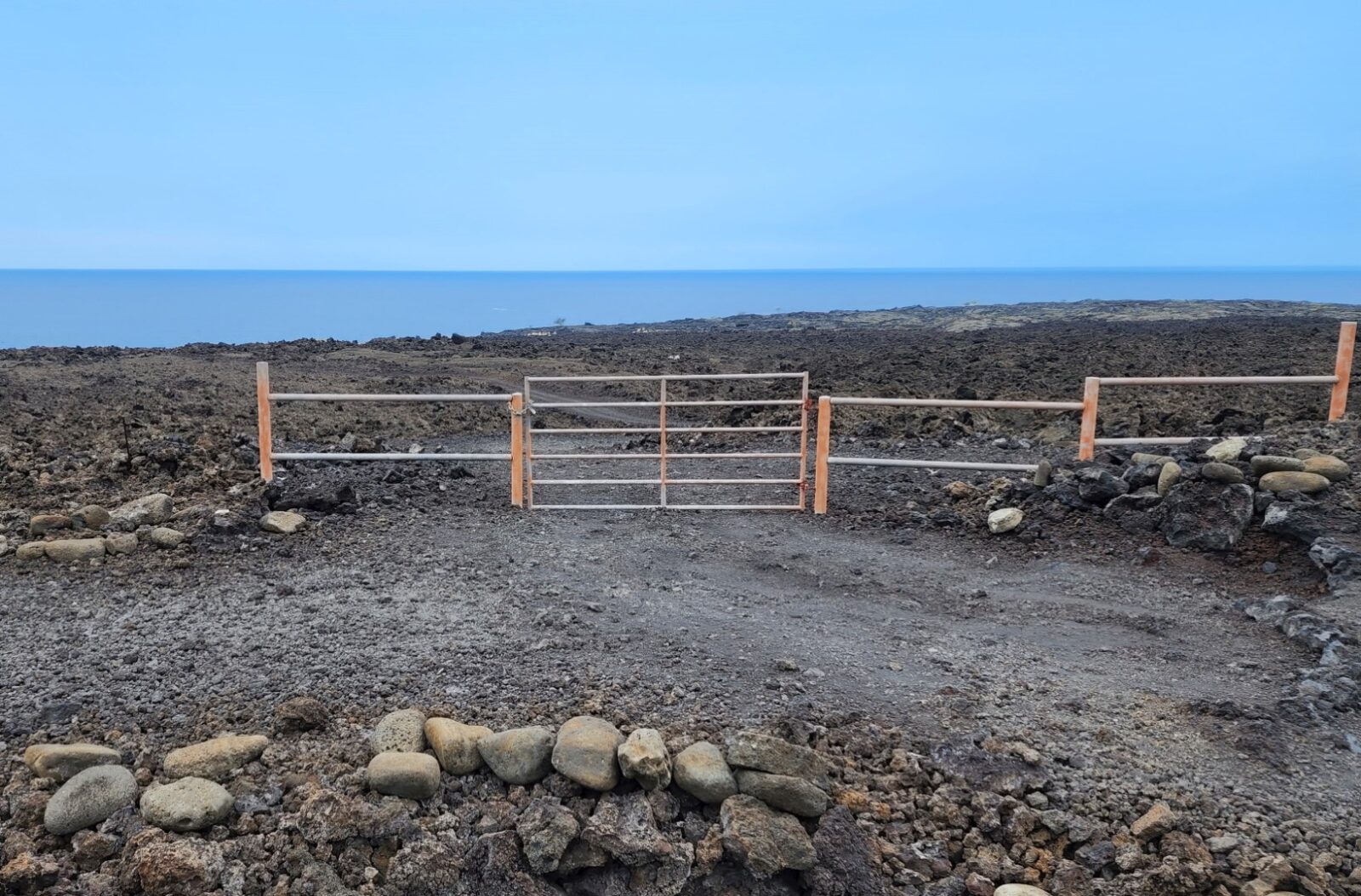
Keopuka is not easy to get to or find, even if you know generally where it is. You’ll need to refer to our map and plan ahead if you want to find it. There are a couple trails that branch off northward towards Keopuka from the hiking trail that ends at the Captain Cook Monument – the Ka’awaloa Trail. One option is about half-way down the Ka’awaloa Trail (about 1 mile) and it’s labeled “King’s Trail” on Google Maps. If you turn right onto that trail, follow it over to a road and descend the road down to the shore (going through two car gates). The second option branches off much lower at about 1.6 miles, which is pretty close to the monument (it’s 2 miles to the bay shore near the monument). You’ll find this wide trail (old road) on the right just before the number 7 marker on the Ka’awaloa Trail. Both of these trails meander through lava fields and through gates before going to the ocean on Keawekaheka Point. If you were to hike farther north of Keopuka, you’d reach the golf course at Hokulia Resort (the Shoreline Park at Hokulia is equally impressive and much easier to get to than Keopuka).
Camping is not allowed in the Keopuka/Keawekaheka area, so day-hiking is your only option. Also the trails are for hikers only and pets are not allowed. Heed all signs you encounter on this adventure. Stay back from cliffs and be extra careful in this remote spot.
- Address
- Napoopoo Rd
Captain Cook, HI 96750 - Phone
- 808-744-2462
- Park Name
- HILT Conservation Easement
- Other Names
- Keawekaheka Point
- Owner
- Trust
- Pet Details
- No dogs allowed
- Fees
- Free parking at trailhead
- Activities
- Hiking, Shoreline Exploration, Fishing
- Amenities
- Historical Sites, Trails, Blowholes

Nearby Beaches
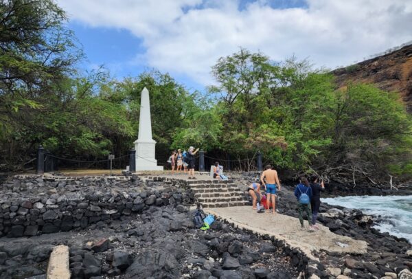
Captain Cook Monument at Kaawaloa Cove
0.7 miles away
Ka’awaloa Cove in Kealakekua Bay is a popular destination for snorkeling boat tours, but it might be more rewarding...
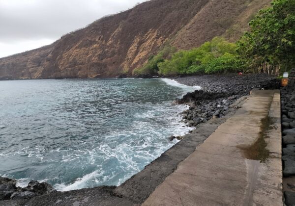
Kealakekua Bay State Historical Park (Napo'opo'o Beach)
1.5 miles away
Napo’opo’o Beach is located at the sound end of Kealakekua Bay in the South Kona region. Napo’opo’o Beach was...

Manini Beach (Kapahukapu)
1.6 miles away
Manini Beach is a locals beach next to Kealakekua Bay State Historical Park and Napo’opo’o Beach. The only sandy...
Nearby Attractions

Ala Kahakai National Historic Trail
13 miles away
Ala Kahakai National Historic Trail is also known as Kawaihae-Anaehoomalu and is often signed Ala Kahakai Trail. This coastal...
Nearby Lodging